- Best months
- May, June, September and October
- Getting there
- Start at Red Wing on US-61
- Bring
- Binoculars, a road map and a full tank
One road, two banks
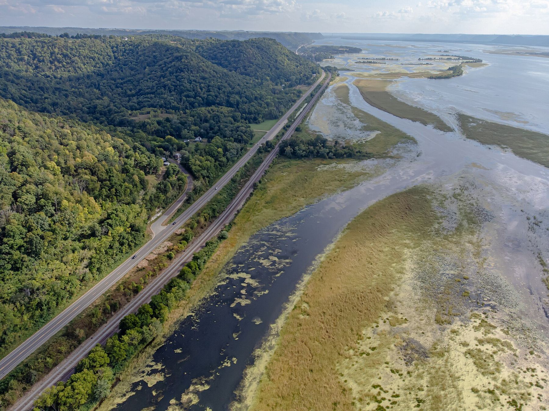
The Great River Road follows the Mississippi from its source in northern Minnesota to the Gulf of Mexico, marked all the way by green signs with a white pilot's wheel. Between Red Wing and La Crosse it runs on both sides of the river at once: US-61 on the Minnesota bank, Wisconsin Highway 35 on the other. The two roads face each other across the water, and the best way to see this stretch is to drive down one and back up the other.
Each leg is roughly a hundred miles. You could drive the loop in a long day, but that misses the point. Give it two days, one for each bank, and stop often.
Which way round you go matters less than you might think. Driving south on the Minnesota side and north on the Wisconsin side keeps the river close to your window on both days, with the far bank across the water. Either way, you see each bluff twice, once from below and once from across the river, and the second look is always different.
Day one: down the Minnesota bank
Start in Red Wing and head south on US-61. The first stop comes quickly: the bluff-top trail at Frontenac State Park, high above the head of Lake Pepin, where the river widens into a long natural lake. A few miles on, Lake City spreads along the shore, with its big marina and a lakefront walk. It is also where water skiing was first done, in 1922.
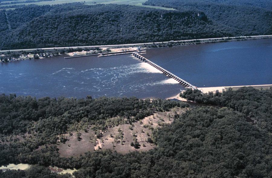
Below Lake Pepin, the river narrows again at Wabasha, where bald eagles gather in winter on the open water. From there US-61 runs south through the bottomlands past Kellogg and Weaver, with backwaters, wooded islands and marsh on one side and steep bluffs on the other. Lock and Dam 5 at Minnesota City is a good place to watch a tow pass through. Then comes Winona, built on a sandbar island in the river, where the road up to the overlook at Garvin Heights gives one of the best views of the whole trip.
The last stretch runs south past Dresbach to La Crescent, an apple-growing town on the bluffs opposite La Crosse. Cross the river here and spend the night on the Wisconsin side.
Along the way, watch for the river itself. Below Lake Pepin it splits into channels and backwaters, and the main channel is marked by buoys and day markers for the towboats. In spring and autumn the backwaters fill with migrating ducks, swans and pelicans. Pull-offs and boat landings give you places to stop and look, and binoculars earn their space in the car. If you stop in Wabasha in winter, the eagles are often visible from the riverfront.
Crossing between the banks
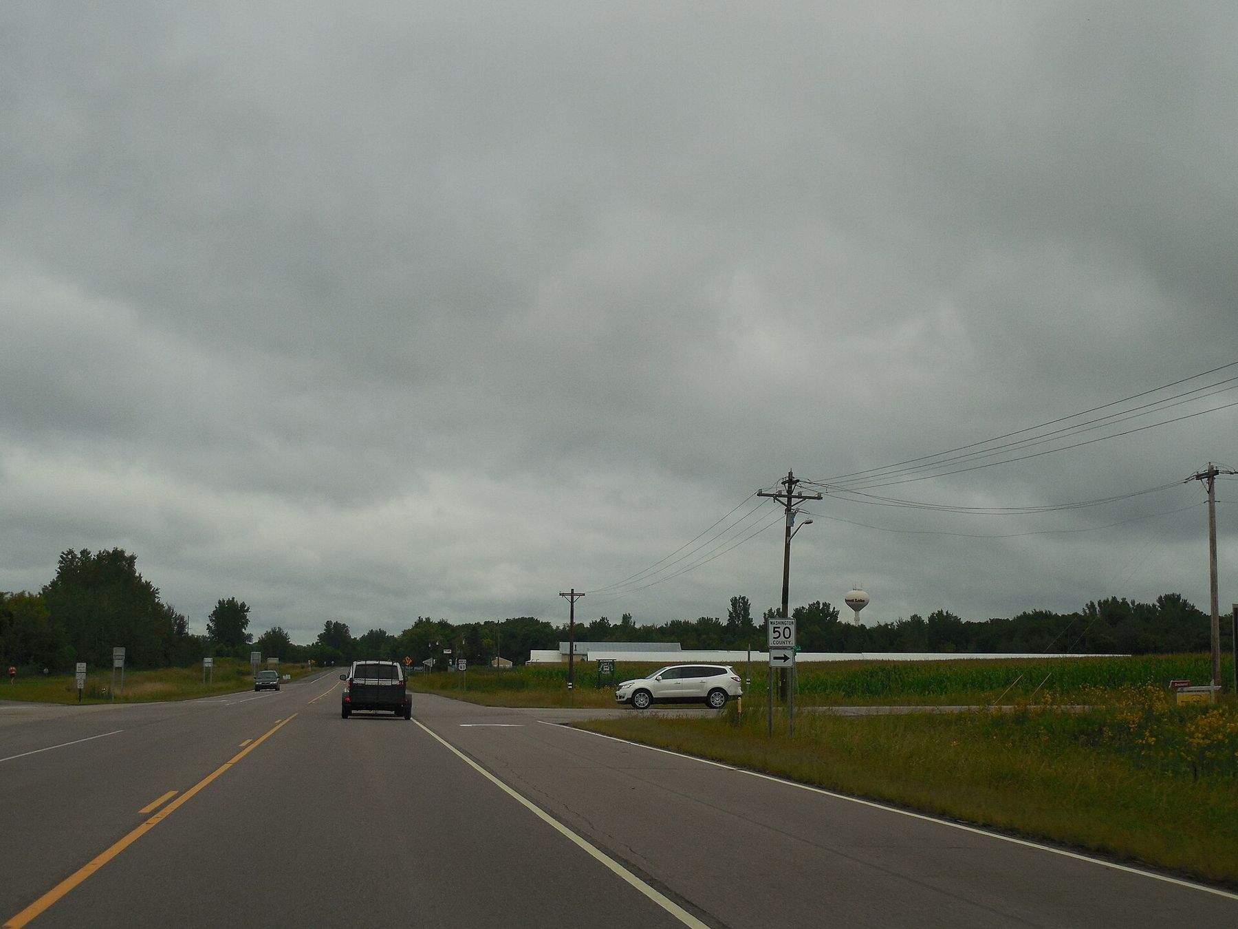
Only a few bridges cross the river in this stretch, and they shape any plan. From north to south: the bridge at Red Wing, which links the town with Hager City; the Wabasha–Nelson bridge; the Winona bridge, which carries traffic over to the Wisconsin shore; and at La Crosse, both the interstate bridge near Dresbach and the bridges into downtown.
 Further along the riverLocks, dams and barges
That means you can shorten the loop easily. Cross at Wabasha and you have a short day covering Lake Pepin on both sides. Cross at Winona and you take in the middle of the valley. Between the bridges there is no way across except by boat, so plan accordingly, and look up current bridge closures before you set out, since repair work happens.
Day two: up the Wisconsin bank
From La Crosse, start with the climb to Grandad Bluff, high over the city, for a look at the river you drove along the day before. Then follow Highway 35 north. The road is narrower and closer to the water than US-61, squeezed in places between the bluffs, the railway and the backwaters.
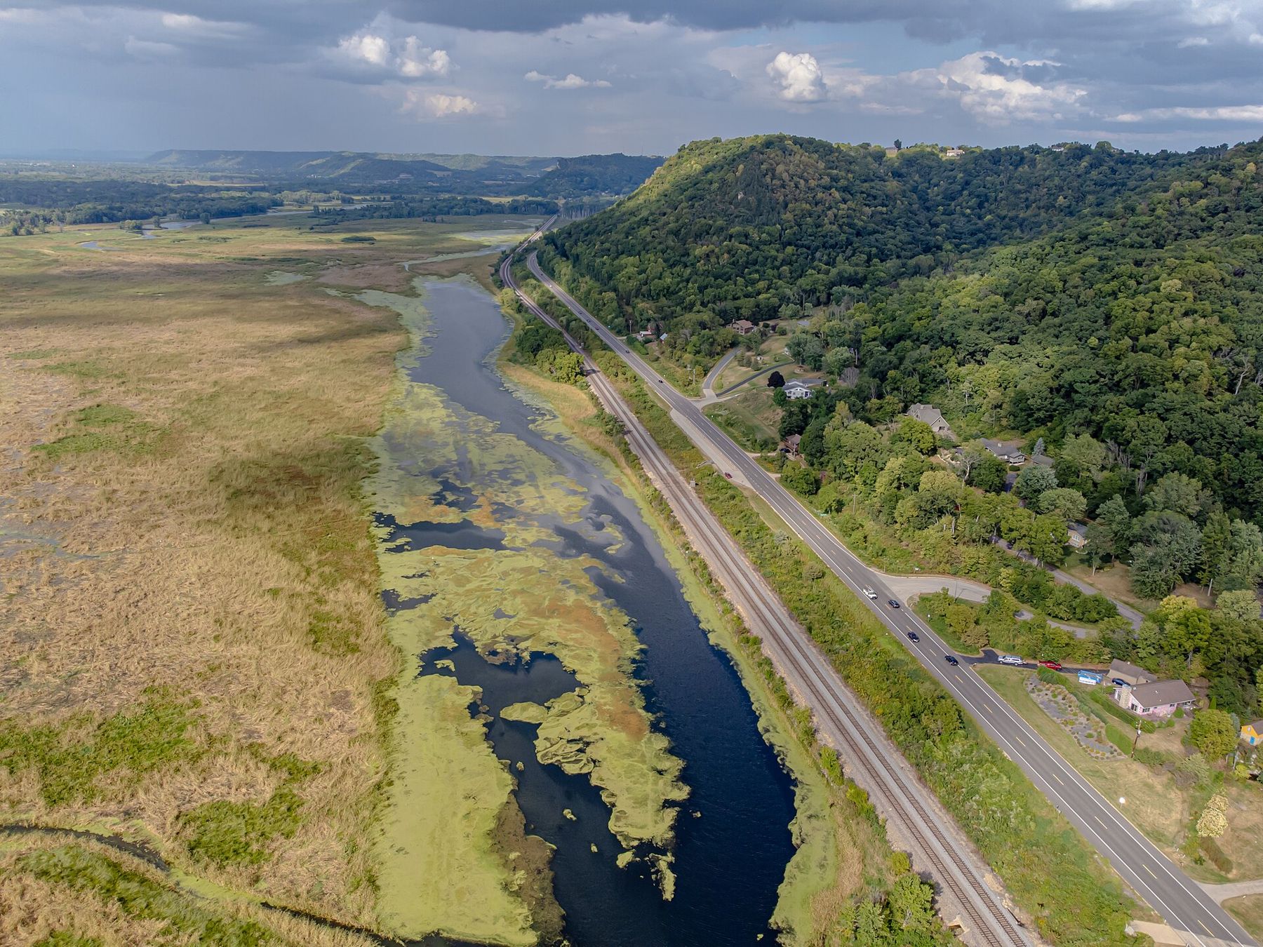
Near Trempealeau, Perrot State Park rises over the river, and a short steep climb leads to Brady's Bluff. Fountain City's houses climb the bluff in steps above the road. Farther north, Alma stretches along a single long street between bluff and river, and Lock and Dam 4 has a viewing platform beside the locks, with Buena Vista Park high above town.
From up there, the river looks like a map of itself.
From up there, the river looks like a map of itself. Barges, islands, side channels and the road you are driving all line up below you.
Past Nelson, the road reaches the Wisconsin shore of Lake Pepin. Pepin, near where Laura Ingalls Wilder was born, has a small harbour. Stockholm is a tiny village founded by Swedish settlers. Maiden Rock Bluff rises high above the lake, and Bay City sits near the head of the lake before the road reaches Hager City and the bridge back to Red Wing.
The Wisconsin shore of Lake Pepin is the most dramatic stretch of the whole drive. The road climbs and dips along the foot of the bluffs, with the lake spread out to the west and the Minnesota shore a low line on the far side. On a clear evening the light comes across the water from the west, and the bluffs on your side turn gold. If you have time for only one stretch of the loop, many people would choose this one.
On the road
Both roads carry trucks, local traffic and, in autumn, plenty of visitors. Freight railways run along both banks, often right beside the road. Use pull-offs and parking areas to stop, not the shoulder, and be careful turning into overlooks on curves. Deer cross at dawn and dusk. In winter, check conditions before you go: the bluffs shade the road, and ice can last in those spots long after the rest has cleared.
Fuel stations and services are spread out on both banks, especially on the Wisconsin side between La Crosse and Alma, so fill up in the larger towns. Phone coverage can drop in the valleys. A paper map is worth carrying, and so is a little flexibility: the best stop on any given day is often the one you did not plan, a landing where a towboat is pushing upstream or an overlook where the eagles are riding the wind along the bluff.
May and June bring green bluffs and spring birds. September is quiet and warm. October is the busiest month, when the bluffs turn; go on a weekday if you can. Whatever the season, leave time to get out of the car. The river looks best from the overlooks, the locks and the water's edge.
Whose pictures these are
- Wikideas1CC0
- DougtoneCC BY-SA 2.0