Inland
Behind the bluffs
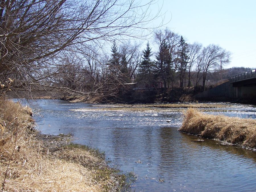 Cannon Valley TrailThe Cannon Valley Trail, from Cannon Falls to Red WingAbout twenty miles of paved rail bed follow the Cannon River down toward the Mississippi, past the village of Welch, under oaks and limestone ledges, with the water never far from your wheels.
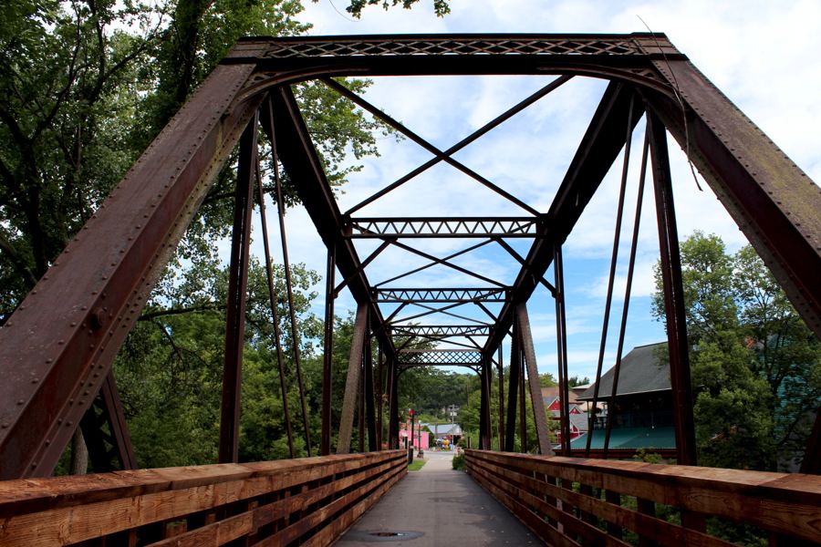 LanesboroLanesboro and the Root River TrailA small town at the bottom of a limestone valley, a paved trail along a winding river, and farm roads where you will meet horse-drawn buggies: southeast Minnesota at its slowest and best.
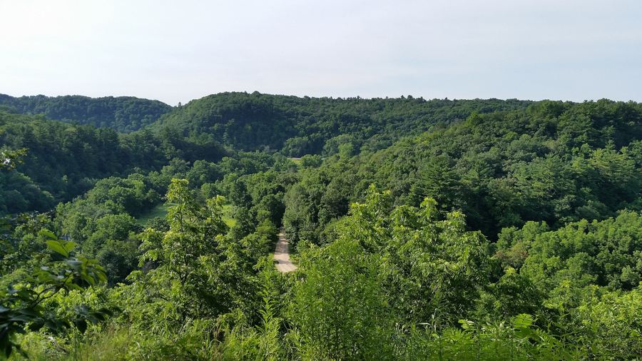 Whitewater State ParkWhitewater State Park, its bluffs and its cold riverA deep, wooded valley inland from Winona, with steep trails to rock outcrops, a clear and very cold river, a sandy swimming area and a long history of floods that shaped the land.
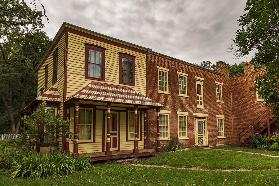 Mystery Cave and ForestvilleMystery Cave and the old town of ForestvilleUnderground passages carved by a disappearing river, a village the railway passed by, and farm fields dotted with sinkholes: a day in the strangest corner of the bluff country.
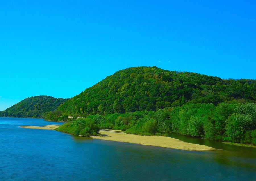 The DriftlessThe trout streams of the Driftless countryThe ice sheets passed this corner of the Upper Midwest by, leaving steep valleys, cold springs and hundreds of miles of trout water in the coulees on both sides of the Mississippi.
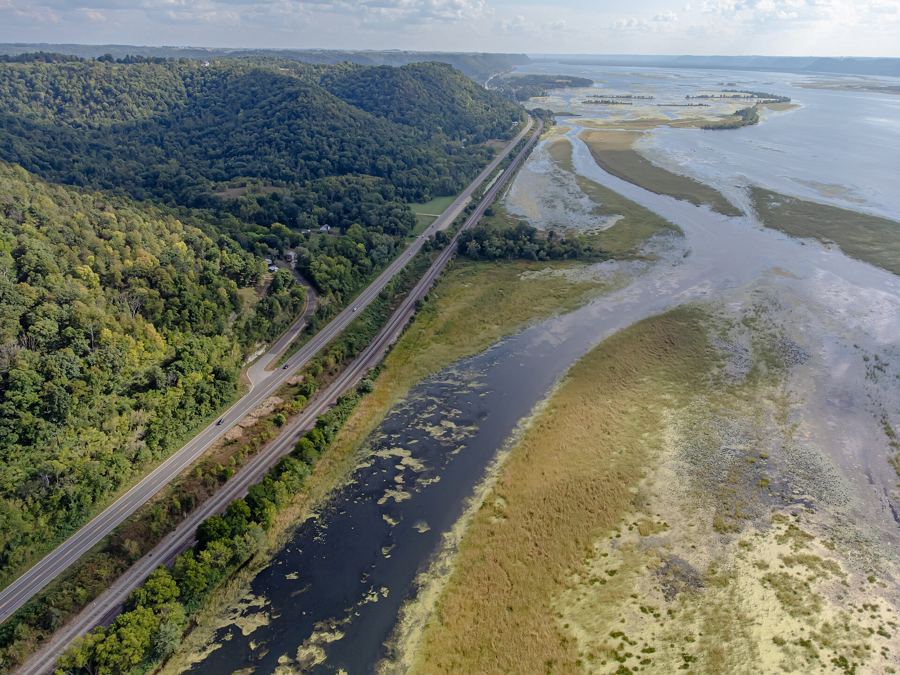 Great River RoadThe Great River Road down both banks in two daysTwo days, two states and one river: down US-61 on the Minnesota bank, across at La Crosse, and back up Wisconsin Highway 35, with stops at the overlooks, locks and river towns.