- Best months
- June, September and October
- Getting there
- MN-74 between St. Charles and Elba
- Bring
- Good shoes, water and a towel for the river
A valley inland from the river
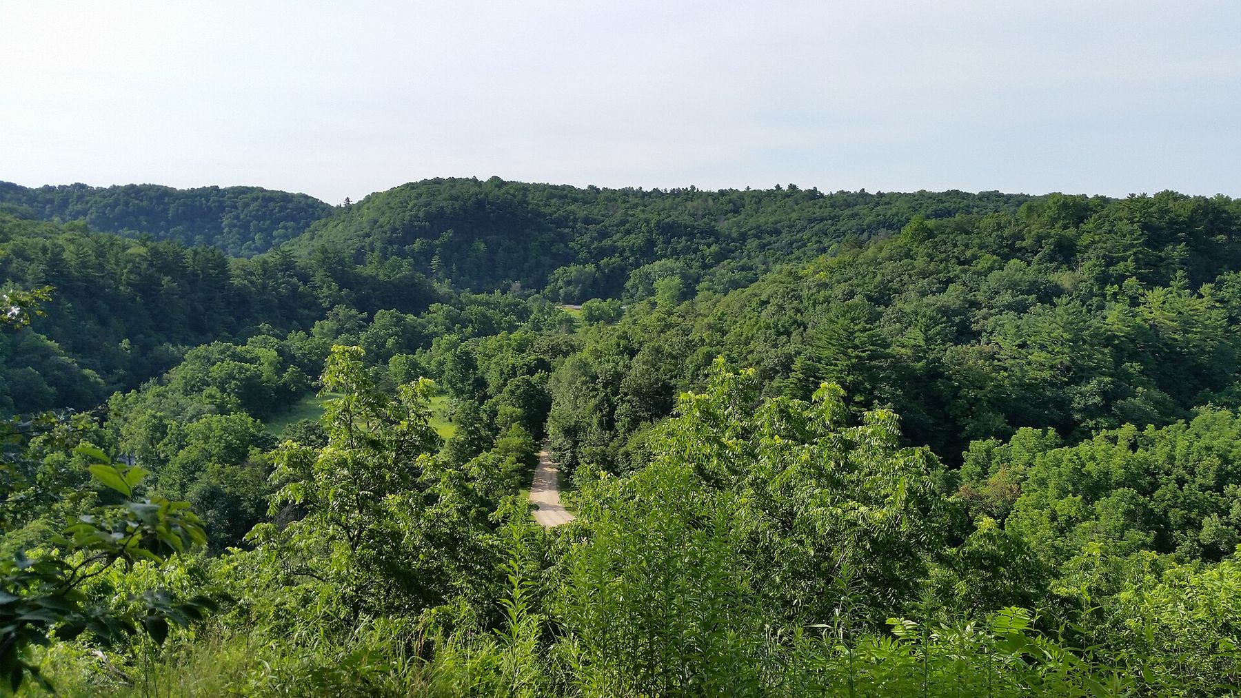
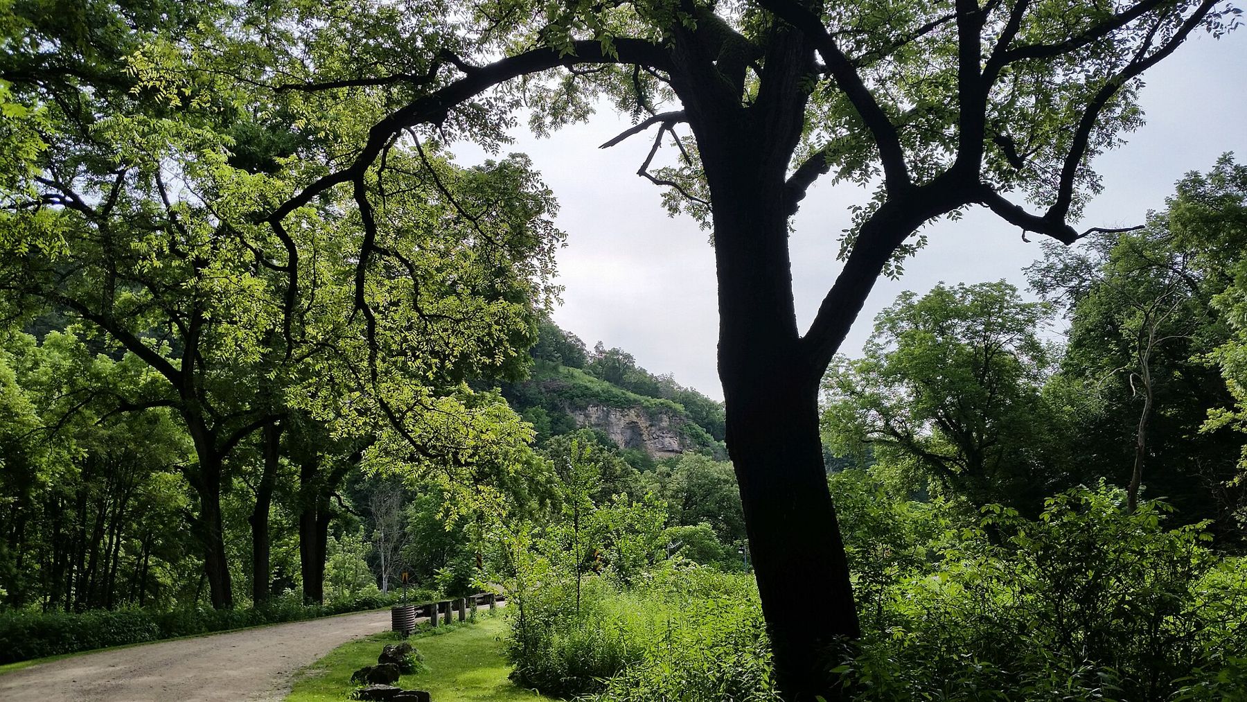
Whitewater State Park lies in a deep valley west of the Mississippi, about half an hour inland from Winona. It is one of Minnesota's older state parks, and it feels different from the river towns: closer, greener, quieter. The bluffs here rise a few hundred feet straight from the valley floor, wooded with oak, maple and pine, with bare limestone showing near the tops.
The Middle Branch of the Whitewater River runs through the park, fed by springs that keep it clear and cold all year. Minnesota Highway 74 follows the valley through the park, so you can drive in from St. Charles to the south or Elba to the north. A vehicle permit is needed to park; check the current rules before you go.
The park is busy on summer weekends and quiet the rest of the time. It has a large campground, picnic grounds by the river, a visitor centre with displays on the valley's history and wildlife, and miles of trails. Wild turkeys walk through the picnic areas in the early morning, and deer feed on the valley floor at dusk. In spring the woods fill with migrating birds, and the trails come alive with wildflowers before the leaves close in.
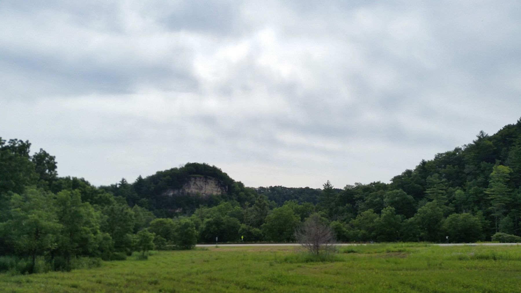
Bluff-top trails and Chimney Rock
The park's trails climb steeply from the valley to the bluff tops, and they are the main reason to come. Expect stairs, switchbacks and stretches of loose rock. Chimney Rock, a pillar of weathered limestone standing out from the bluff, is the best-known landmark, and nearby overlooks such as Inspiration Point look down the full length of the valley.
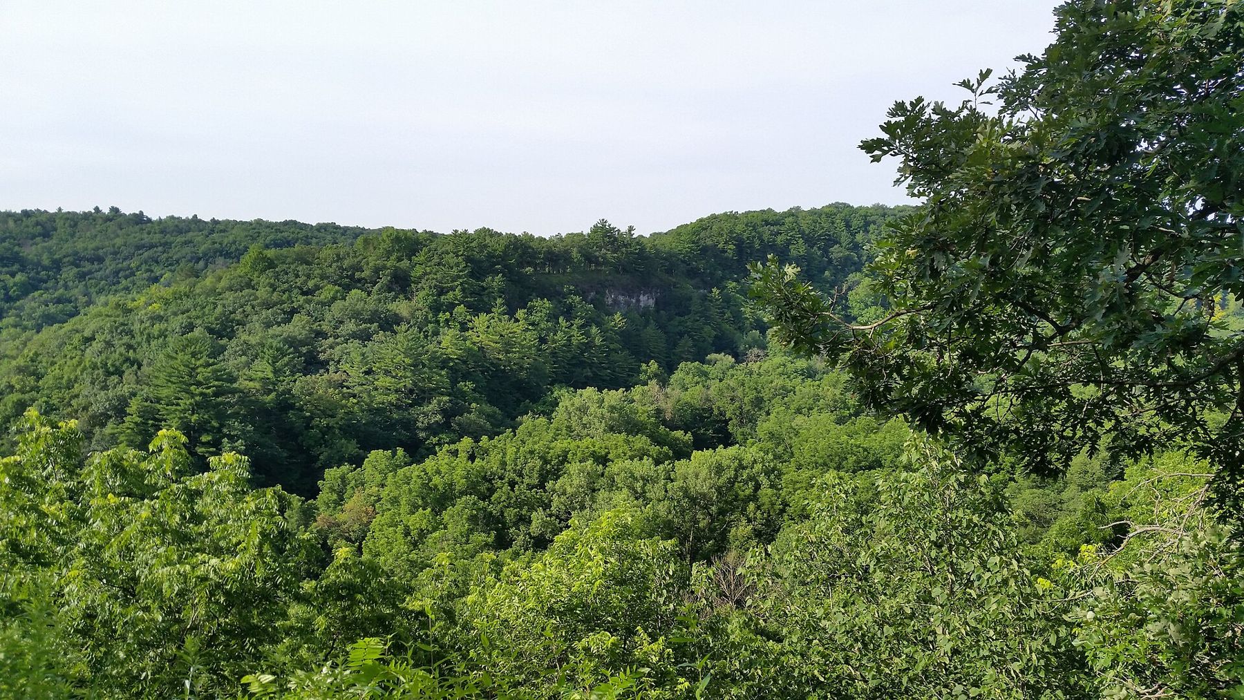
The climbs are short but steep, and the view is the reward: the river winding below, the road a thin grey line, and ridge after wooded ridge going off toward the Mississippi.
From the top, the valley looks more like the mountains than the Midwest.
Go in the morning, before the heat builds.From the top, the valley looks more like the mountains than the Midwest. The illusion breaks the moment you see a farm field on the upland behind you.
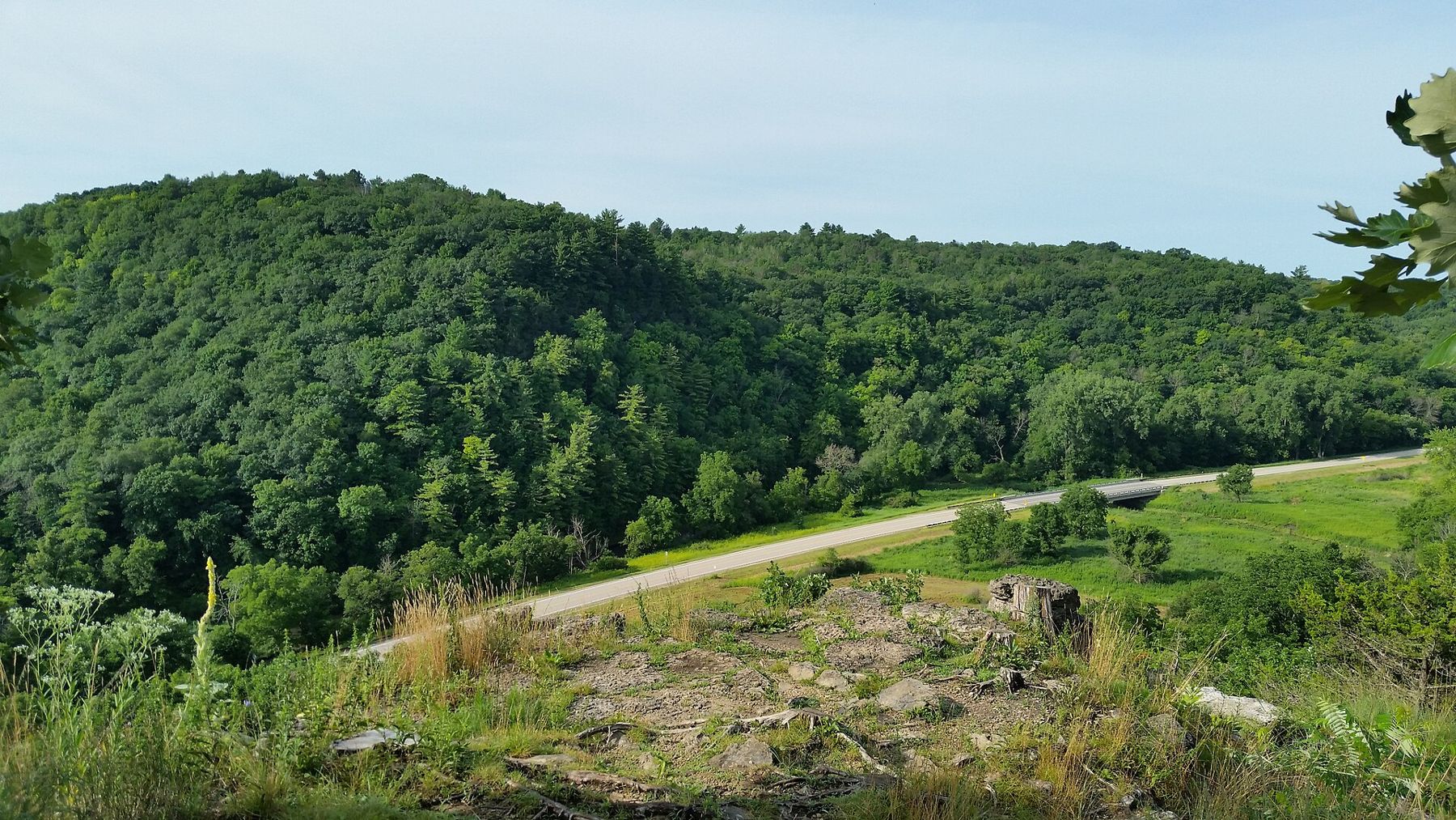
Stay on the trails and keep back from the edges. Limestone breaks without warning, the ground near the drop is often loose, and some overlooks have no railing. The park is also home to timber rattlesnakes, a protected species. They are shy and rarely seen, but watch where you put your hands on rocky ledges, and give any snake plenty of room.
Wear real shoes rather than sandals, carry water even for a short loop, and allow more time than the distance suggests. The steepest trails are hard on knees going down, and after rain the clay and rock can be slick. A walking pole is no shame here.
The swimming area and the cold river
The river runs cold even in July, since it is fed by springs, and that is exactly why people come on hot summer days. The park has a sandy swimming area by the water, and the first step in is always a shock. Children last longer than adults. There is usually no lifeguard, so watch your own group closely, and check whether the swimming area is open before you pack the towels; high water and repairs close it from time to time.
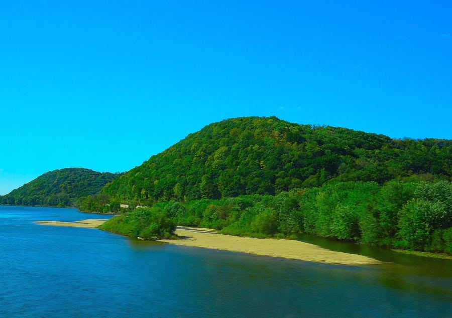 Further along the riverThe trout streams of the Driftless country
The same cold water makes the Whitewater a trout river. Brown trout hold in the riffles and under the banks, and anglers work the stream through the park and beyond. You will need a Minnesota fishing licence and a trout stamp, and the seasons and rules vary by stretch, so check current regulations before you fish. The quiet pools are also good for watching: flashes of light on the surface, a kingfisher on a dead branch, a heron standing still in the shallows.
Walk the valley-floor trails if the bluffs are too much. They follow the river through meadow and floodplain forest, flat and easy, with places to sit by the water and watch for trout rising in the evening.
Floods and the shape of the valley
The quiet valley has a hard history. In the nineteenth century, settlers cleared the slopes and ploughed the uplands, and the soil began to wash off the hills. Heavy rains sent floods down the valley, and each one left more silt behind. Farms were buried, the river shifted its course, and the small town of Beaver, downstream from the park, was flooded so often that it was finally abandoned.
In the twentieth century, the state bought land, replanted the hillsides and worked with farmers to hold the soil in place. Much of the valley around the park is now protected forest and wildlife land. The park itself has stone buildings and shelters built in the 1930s by federal work programs, using local limestone, and they still stand.
Big floods still come. The park has closed for high water more than once in recent decades, and trails and bridges have needed repair afterward. If heavy rain is forecast, check conditions, and never cross a flooded road.
You can read the story in the land if you know where to look: the flat, silty bottoms where the river has dropped its load, the young forest on slopes that were once pasture, and the small dams and terraces on the farms above, built to slow the water before it reaches the valley.
Planning a visit
June brings full green woods and the first warm days for swimming. September is quieter, with cool mornings and fewer people. October brings colour to the bluffs, though the trails get busy on weekends. Winter is still and beautiful, with snowshoe trails and almost no one around.
A long day here could start with a climb to Chimney Rock in the cool of the morning, a picnic by the river at midday, an afternoon in the swimming area, and a slow walk along the valley floor as the light goes. If you are camping, reserve ahead for summer weekends and holidays, and check the park's current notices for closures and trail work before you go.
Whitewater pairs well with the river towns. Winona is the nearest of them, with another fine view from Garvin Heights. If you are heading south, the trails and towns around Lanesboro are about an hour away. And if the cold river has you curious, the valleys all around the park hold caves and springs that explain where all that water comes from.
Whose pictures these are
- Joe PasseCC BY-SA 2.0