- Best months
- June, July, August and September
- Getting there
- Near Preston, west of Lanesboro
- Bring
- A warm layer for the cave, even in summer
Two places in one park
Forestville/Mystery Cave State Park lies in Fillmore County, southwest of Lanesboro, near the town of Preston. It joins two sites a few miles apart: the wooded valleys of Forestville, with their trout streams, campground and a nineteenth-century village, and Mystery Cave, the longest known cave in Minnesota. Each deserves at least half a day.
This is the heart of Minnesota's karst country, where the bedrock is limestone and water has been working through it for a very long time. The landscape looks gentle from the road, all rolling fields and wooded valleys, but under the surface it is full of holes. That is the thread that ties the park together: the cave, the springs, the cold streams and even the sinkholes in the farm fields are all parts of the same system.
A vehicle permit is needed to enter the park, and cave tours are ticketed separately. Prices, schedules and what is open change with the season, so check before you go.
Underground: Mystery Cave
Mystery Cave was formed by the South Branch of the Root River. In dry weather, the river sinks into cracks in its bed, flows underground through the limestone, and comes out again downstream. Over a very long time that water dissolved the miles of passages you can now walk through.
The cave can only be seen on guided tours. Most run in summer, with fewer in spring and autumn, and the length and type of tour vary: easier walks on paved paths with lights, and longer, rougher trips for the curious. Book ahead in summer, as tours fill.
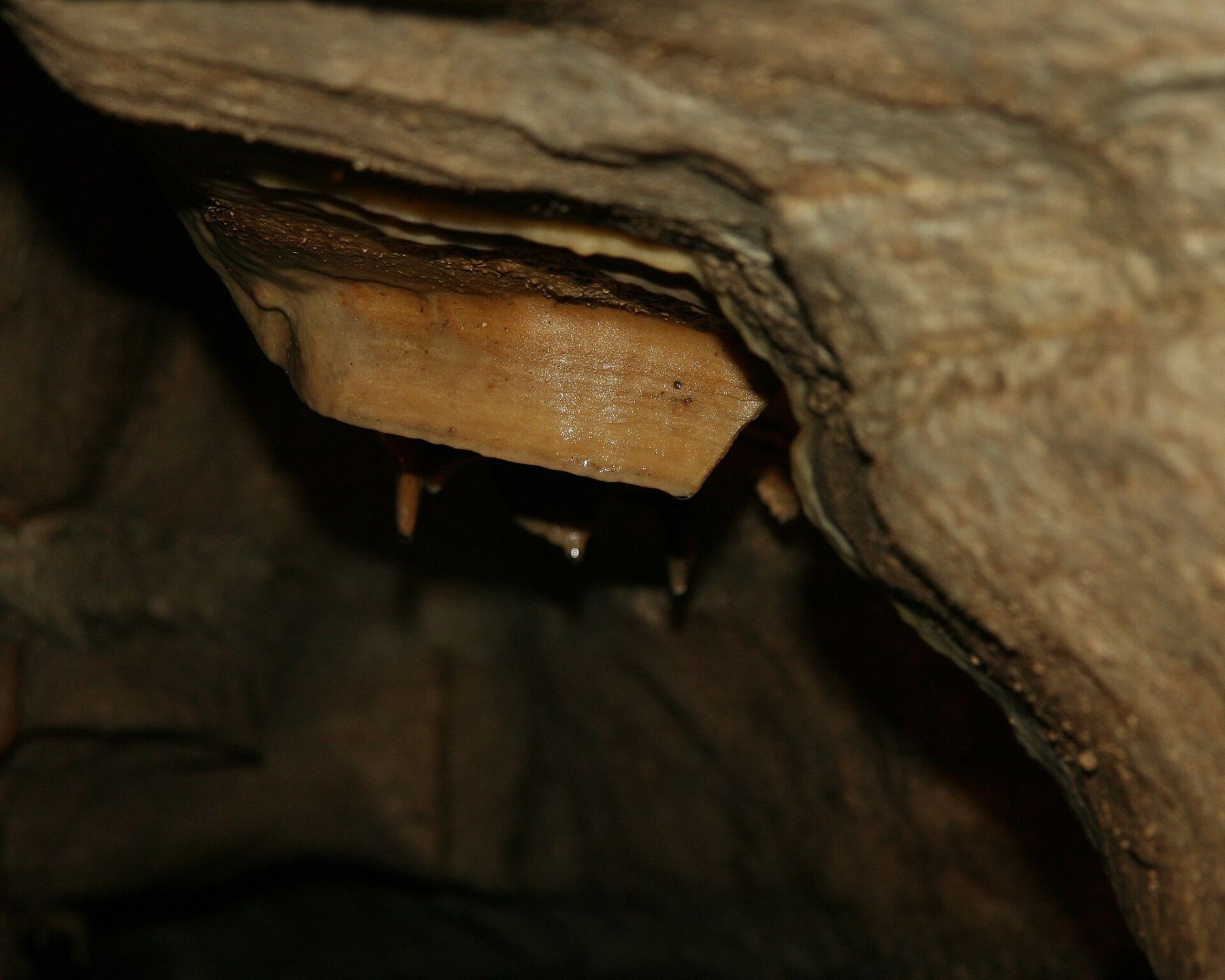
Inside, the air stays in the upper forties Fahrenheit all year, so bring a warm layer even on a hot day. The guides show you still green pools, stalactites and flowstone, and thin banded sheets of rock known as cave bacon.
Then the lights go out, and you understand what dark really means.
Many tours include a moment of full darkness, and it is worth the wait.Then the lights go out, and you understand what dark really means. When they come back on, the cave looks bigger than before.
Bats live in Minnesota's caves, and a fungal disease called white-nose syndrome has killed huge numbers of them. You may be asked whether your clothing, shoes or gear have been in other caves or mines; answer honestly, and follow the staff's directions.
A few other rules keep the cave as it is. Stay on the path, do not touch the formations, since oil from skin stops them growing, and leave food and drink outside. Tours involve stairs and uneven floors in places, and some passages are narrow and low. If you have trouble with tight spaces or long periods on your feet, ask about the easier tour before you book.
Historic Forestville
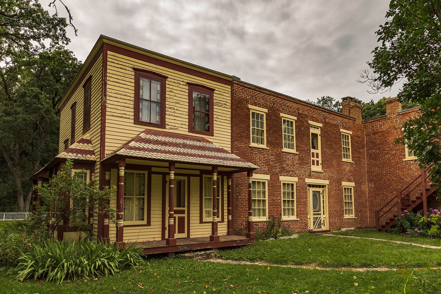
Forestville was a busy little crossroads town in the 1850s and 1860s, with a mill and a general store. Then the railroad was built elsewhere, the town lost its trade, and most people moved away. A single family, the Meighans, ended up owning nearly all of it, and they ran the general store for decades.
 Further along the riverLanesboro and the Root River Trail
When the store closed in 1910, much of its stock was left on the shelves. Today the brick store and the house beside it are a living history site, where interpreters in period dress take the village back to the end of the nineteenth century. You can walk through the store, see the garden and the farm buildings, and ask about crop prices as if it were 1899. The site has its own seasons and hours; check before you go.
What makes Forestville worth the stop is how complete it feels. The store still has its counters, drawers and shelves; the house beside it is furnished as a family home of the time; and the setting, in a quiet wooded valley by a creek, has hardly changed. Children who are bored by museums tend to enjoy it, since they can ask the interpreters anything, and the answers come in character.
A landscape of sinkholes and springs
The countryside around Forestville is karst: limestone dissolved by water from below. Look closely as you drive and you will see sinkholes in the farm fields, round hollows where the ground has dropped into a cavity underneath, often with a tree or two growing in them. Some streams disappear into the ground; others appear from springs at the base of a bluff, cold and clear.
That same plumbing makes the groundwater easy to pollute, since what goes into a sinkhole can reach a well or a spring quickly. It is also why the streams here run so cold and clear, and why the valleys hold trout.
Farmers here have long lived with the karst. Many sinkholes are fenced off or left wooded so that nothing is dumped in them, and fields are farmed with strips and buffers to keep soil and chemicals out of the water below. Look but do not climb down into one; the edges can be unstable.
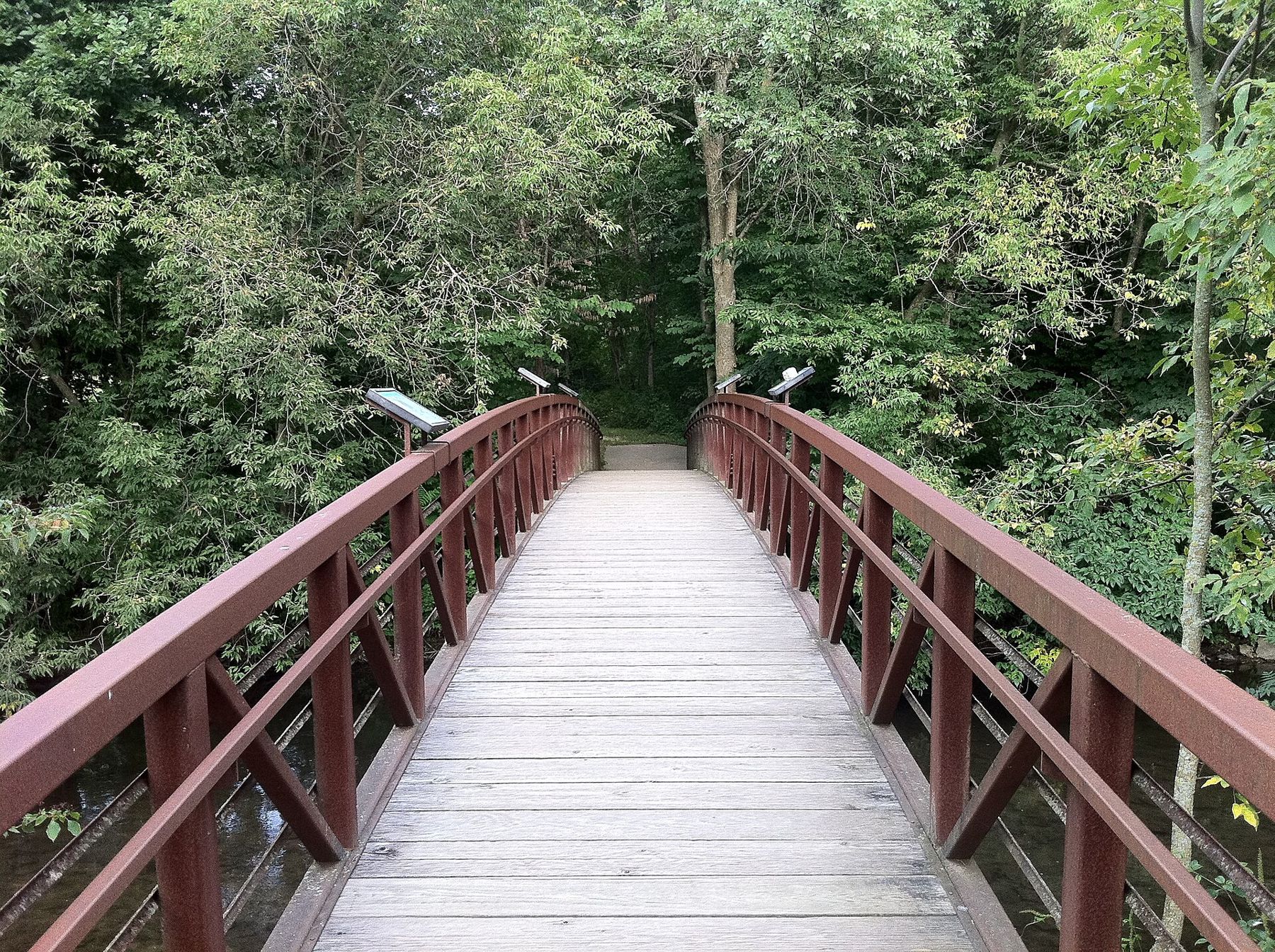
In the park, Forestville Creek and Canfield Creek are both spring-fed, and the trails along them pass through damp, cool woods. Some of the trails are shared with horses, so expect hoofprints and keep to one side when riders pass.
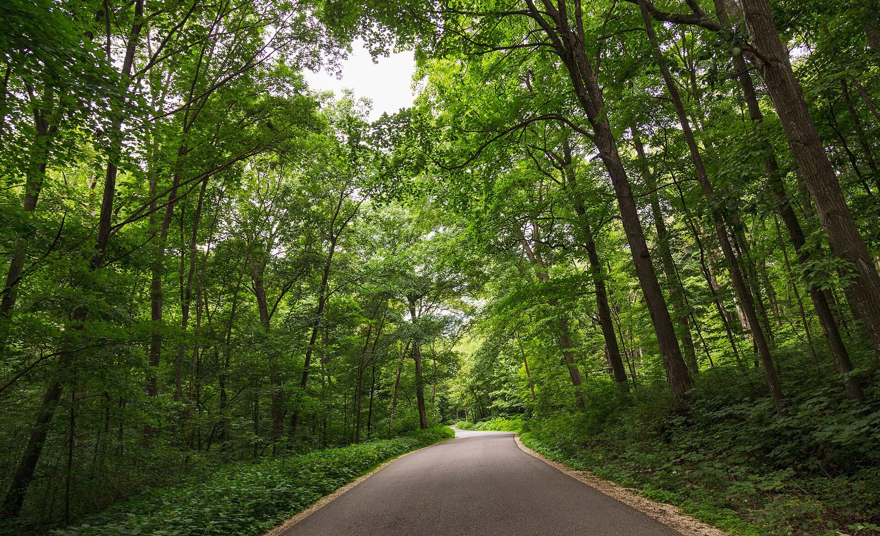
The park's campground sits in the Forestville valley, shaded by tall hardwoods and close to the creeks. On summer nights you hear the water and the frogs, and in the morning the mist lies in the valley until the sun clears the bluffs. Reserve ahead for summer weekends, and check the current notices for closures.
Making a day of it
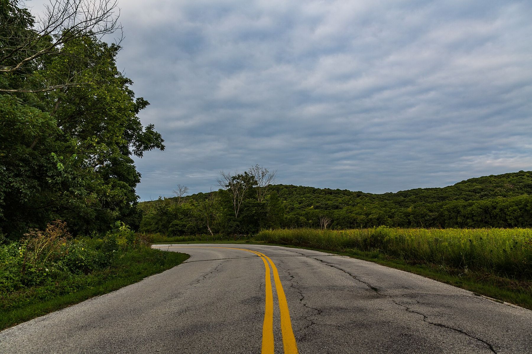
A good day here starts with a morning cave tour, before the summer crowds, then a picnic and an afternoon at the village. Allow time for the drive between the two sites, which runs along quiet county roads past farms and woodlots, with the occasional sinkhole in a field beside you. If you have more time, walk the creek trails or fish one of the streams; you will need the right licence and trout stamp, and the rules differ by water, so check them first.
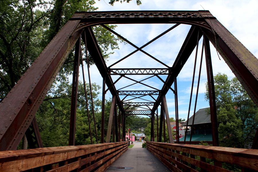
The park sits in the middle of some of the region's best inland country. Lanesboro and its bike trail are a short drive away. The trout streams of the Driftless run through almost every valley around you. And when you head back to the Mississippi, the bluffs along the Great River Road look different once you know how much water is moving through the rock beneath them.
Whose pictures these are
- Tony Webster from Minneapolis, Minnesota, United StatesCC BY-SA 2.0
- Tony Webster from Minneapolis, Minnesota, United StatesCC BY 2.0
- JonathunderCC BY-SA 3.0
- Jayesh NaithaniCC BY-SA 3.0