- Best months
- Late May, June and October
- Getting there
- MN-16 west from the Mississippi at La Crescent
- Bring
- A bike, sunscreen and patience on the farm roads
A town at the bottom of the valley
Lanesboro sits in a deep bend of the Root River, inland from the Mississippi in Fillmore County, with wooded limestone bluffs rising on every side. Coming in by road, you drop off the farmed uplands and the town appears below you all at once: church steeples, brick and stone storefronts, and the river curling around it all.
It is a small place, home to well under a thousand people, and its main street is short enough to walk end to end in a few minutes. Most of the commercial buildings date from the late nineteenth century, when the town was a railroad and milling centre. The railway is gone now, but its bed became the trail that brings most visitors here.
At the edge of town a stone dam spans the Root River. Water pours over it in a broad white sheet, louder than you expect, and the millpond above is still and green. It is the town's best spot to stand for a minute, and on summer evenings people gather near it to watch the light go off the bluffs.
Lanesboro has made a second life out of the trail. Old storefronts hold galleries and a small professional theatre, and the town park by the river has picnic tables, shade and space to lie on the grass after a ride. Come on a summer evening and you will find people on porches, bikes leaning on fences, and the sound of the dam under everything.
The Root River State Trail
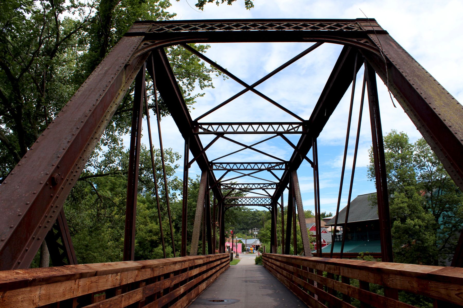
The Root River State Trail follows an old rail bed through the valley for roughly forty miles, from Fountain in the west through Lanesboro, Whalan, Peterson and Rushford to Houston in the east. It is paved, mostly flat and mostly shaded, crossing the river again and again on old iron truss bridges. Between Fountain and Lanesboro it meets the Harmony-Preston Valley State Trail, which climbs south toward Harmony and Preston and adds many more miles if you want them.
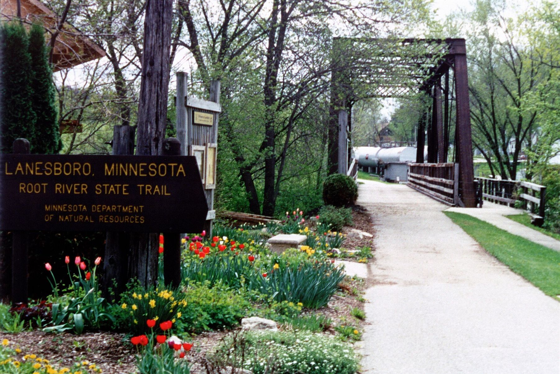
The stretch east of Lanesboro is the easy classic: flat, quiet, and close to the water, with Whalan a few miles along and Peterson beyond. West toward Fountain is different. The trail climbs out of the valley onto the upland, and the long steady grade is the only real effort on the whole route. Ride it uphill in the morning and you get to coast back.
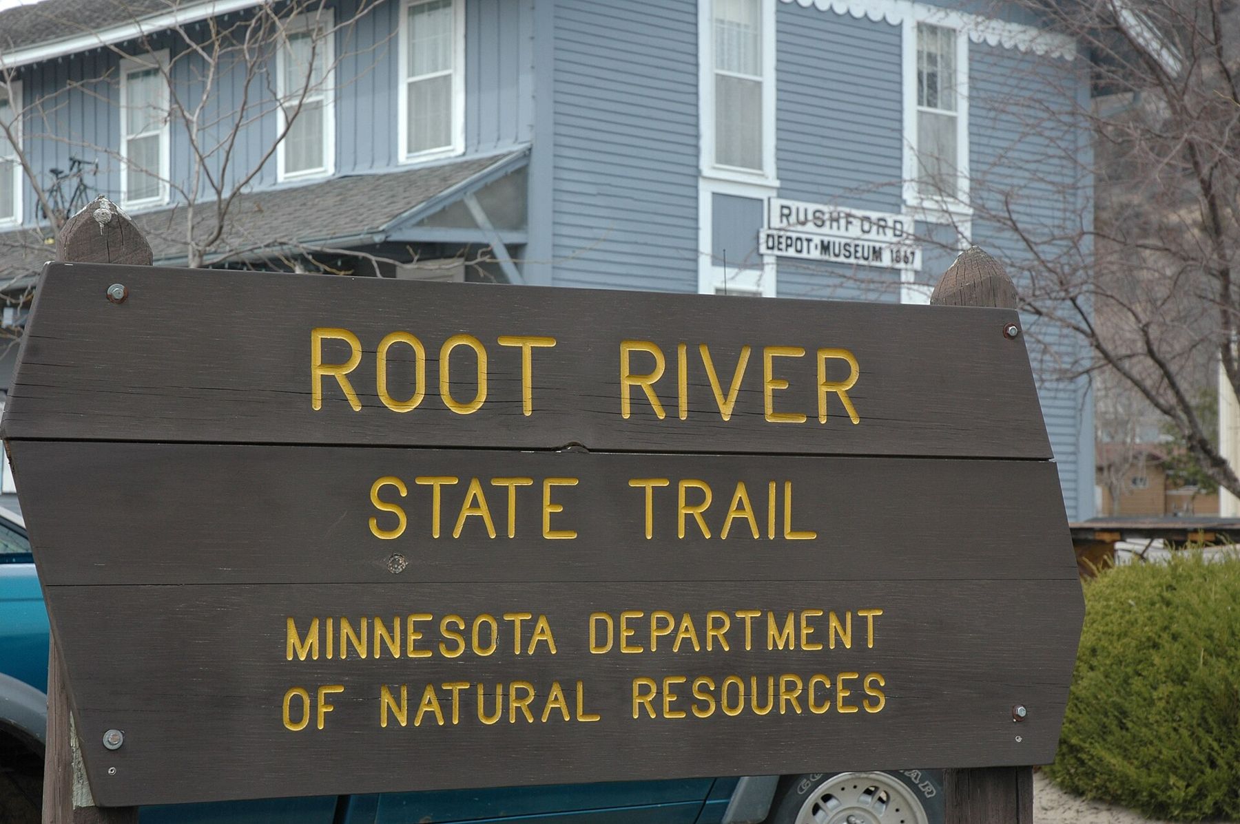
As things stand, no pass is needed to ride Minnesota's state trails, but rules change, and a ski pass applies in winter, so check before you go. Mile markers, rest stops and trailheads with parking are spread along the route; Rushford's restored depot serves as one of them, with a small local history museum inside.
Paddling the Root
The Root River is a lovely paddle, slow and winding, with sandbars to pull out on and bluffs that open and close around each bend. In summer the current is usually gentle and the water warm in the shallows. The upper tributaries are cold spring-fed streams with trout; the main river below Lanesboro holds smallmouth bass and plenty of carp.
Respect it all the same. The Root rises fast after rain, and fallen trees in the channel are the real danger, more than the current itself. Wear a life jacket, check the river level before you set out, and plan your takeout in advance. Seasonal rentals and shuttles run in the valley; arrange one ahead on summer weekends.
Spring is the time for higher water and a faster ride; by late summer some shallow riffles mean a bit of walking and dragging. Either way, the views from the water are different from those on the trail. You see the undercut banks, the swallows nesting in them, turtles on logs and, now and then, a bald eagle on a dead tree over the river. Pack out everything you bring in, and keep off private land along the banks unless you know it is public.
 Further along the riverMystery Cave and the old town of Forestville
Amish country and the roads you share
The uplands south and west of Lanesboro, around Harmony and Canton, are home to an Old Order Amish community. You will see their farms, set apart by the lack of power lines, and you will meet horse-drawn buggies on the county roads and sometimes on the main highways too.
A few simple courtesies matter. Slow down well before you reach a buggy, especially on hills and blind curves, and pass wide and gently; horses spook at sudden engine noise. Do not photograph people, even from a distance: most Amish families prefer not to be photographed, and it is easy to respect that. Some farms sell baked goods, furniture or produce from the farm itself, with hand-lettered signs; they do not sell on Sundays, and they will not be glad of a visit then.
The pace out here is set by horses, not by traffic. On a weekday morning, with the windows down and the fields running to the horizon, you will find that suits you better than you expected.
The pace out here is set by horses, not by traffic. It is the best reason to slow down.
Beyond Lanesboro
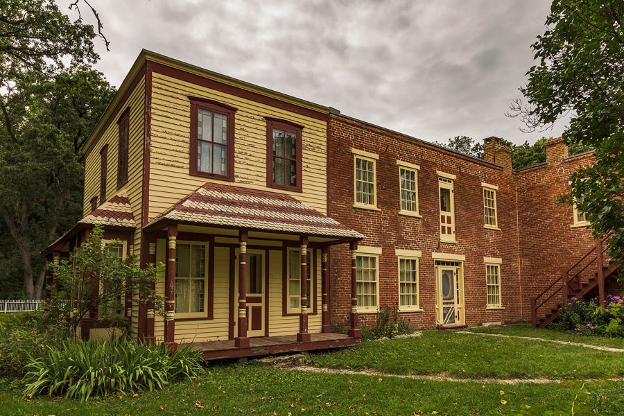
Lanesboro makes a good base for a few days in the bluff country. The caves and springs of Forestville and Mystery Cave are a short drive west. To the north, the cold rivers and steep trails of Whitewater State Park are about an hour away. Every valley here holds a stream, and many of them are among the best trout streams of the Driftless.
If you like this kind of riding, the Cannon Valley Trail near Red Wing is the other great rail trail in the region, shorter and closer to the Mississippi. The two make an easy pairing on a long weekend.
From Lanesboro it is under an hour to the Mississippi at La Crescent or Winona, so you can mix a day inland with a day on the big river. The drive east along the Root River valley, through Rushford and Houston, is a fine one in its own right, with the bluffs closing in as you get nearer the river.
When to go
Late May and June bring green woods, wildflowers along the trail and the river at a good level for paddling. July and August are warm and busy on weekends. October is the favourite of many, when the bluffs turn and the air is cool enough for long rides. Weekdays are quiet in every season.
Winter is quieter still. The trail is used for cross-country skiing when there is snow, and the town slows almost to a stop. Whatever the season, check trail and river conditions before you go, since floods and repairs close sections from time to time.
Whose pictures these are
- Lanesboro ArtsCC BY-SA 4.0
- Unknown author Unknown author or not providedPublic domain
- S. ClydePublic domain