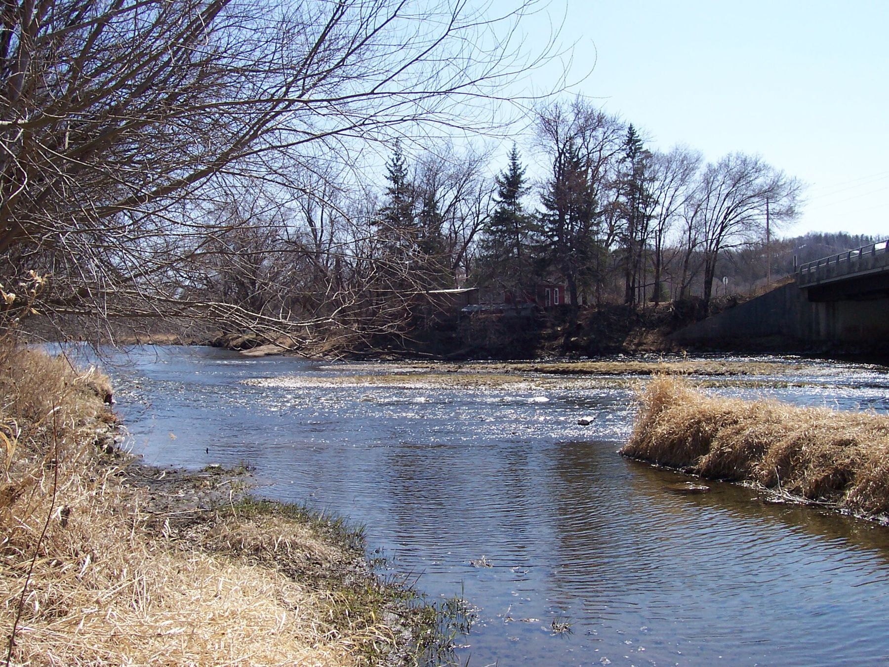
- Best months
- May, June and early October
- Getting there
- US-52 to Cannon Falls, US-61 to Red Wing
- Bring
- Water, a patch kit and a wheel pass
An old railway with an easy grade
The Cannon Valley Trail runs about twenty miles between Cannon Falls and Red Wing on the bed of a railway that once carried freight down the valley. The rails are long gone. In their place is a paved path, wide enough for two bikes side by side, that keeps the railway's gentle gradient. Ride east and you lose a little height all the way, following the water toward the Mississippi. Ride west and the climb is so slight you mostly notice it in your legs late in the day.
The valley does the rest. Within a mile or two of either end the farm fields fall away and the trail slips between wooded slopes, with the Cannon River on one side and limestone ledges on the other. In summer the canopy closes overhead and the light turns green. In October the oaks and maples colour up and the path disappears under leaves. You will hear the river before you see it, and on still mornings you will hear woodpeckers, wild turkeys in the brush and not much else.
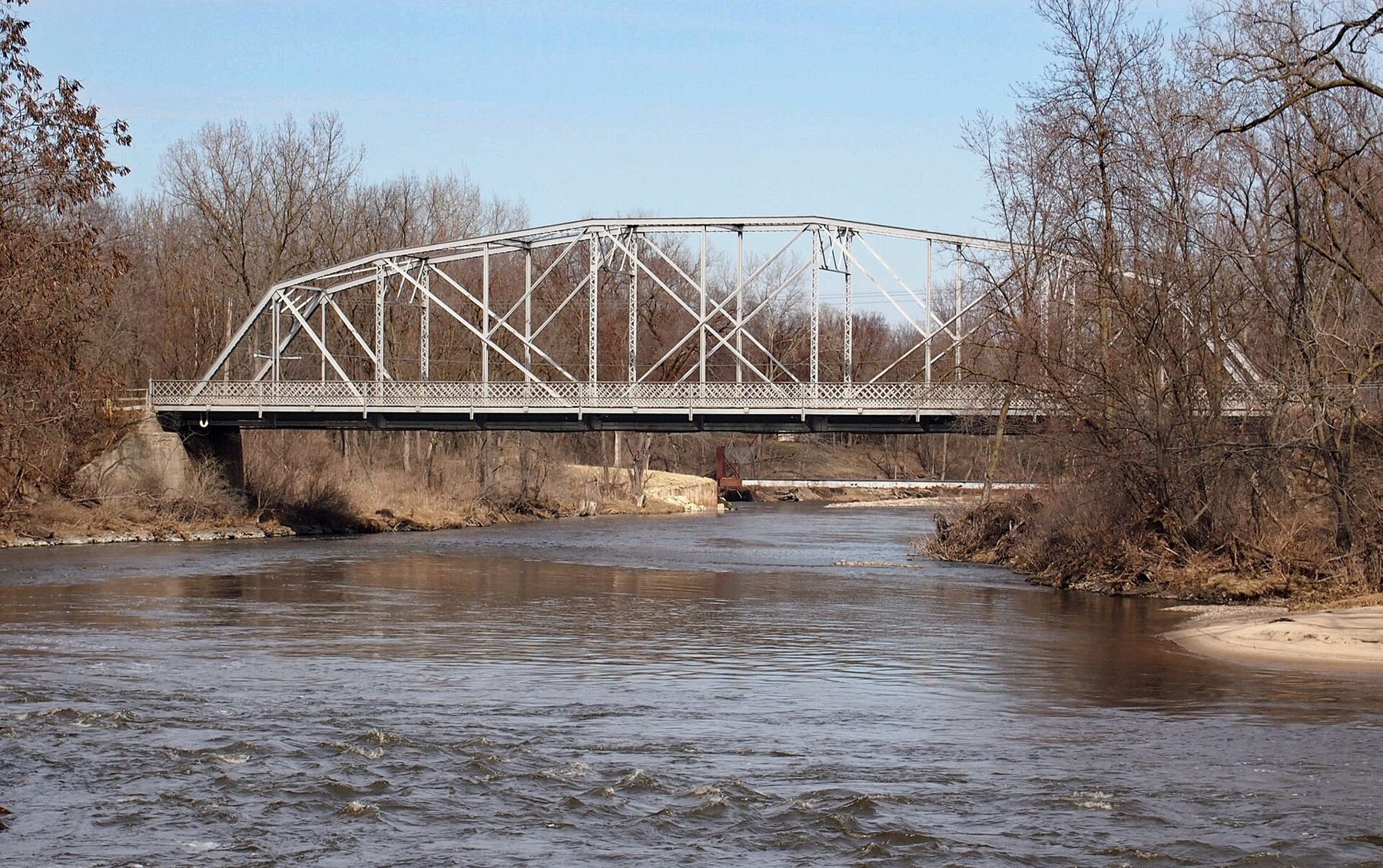
Setting off from Cannon Falls
Cannon Falls is a small town where the Little Cannon River joins the Cannon. The trail starts on the east side of town, and it is worth a slow loop before you set off: the old steel truss of the Third Street Bridge, the river running quick over its stony bed, a main street of brick storefronts. Parking is easy. Starting here puts the gentle downhill on the way out, so the slight climb back comes at the end of the day, when you will feel it more than the numbers suggest.
The first miles run past fields and through stands of cottonwood, then the bluffs close in. Mile markers are set along the trail, which helps when you are judging how far you have come and how far you still have to go back.
Between Cannon Falls and Welch the river comes and goes. Some stretches run right along the bank, with the water a few feet below the trail; others swing away behind a screen of trees, and you only catch it again at the next bridge. Look for the small side streams that come down out of the bluffs, and for the places where old railway cuts slice through the rock, cool and damp even in July.
The village of Welch
Roughly halfway along, the trail passes Welch, a small village in a bend of the river. There is not much to it, and that is the appeal: a quiet road crossing, the river wide and shallow over gravel, and wooded bluffs standing close on both sides. A trail access near the village has parking, so many riders begin here and do a shorter out-and-back in one direction or the other.
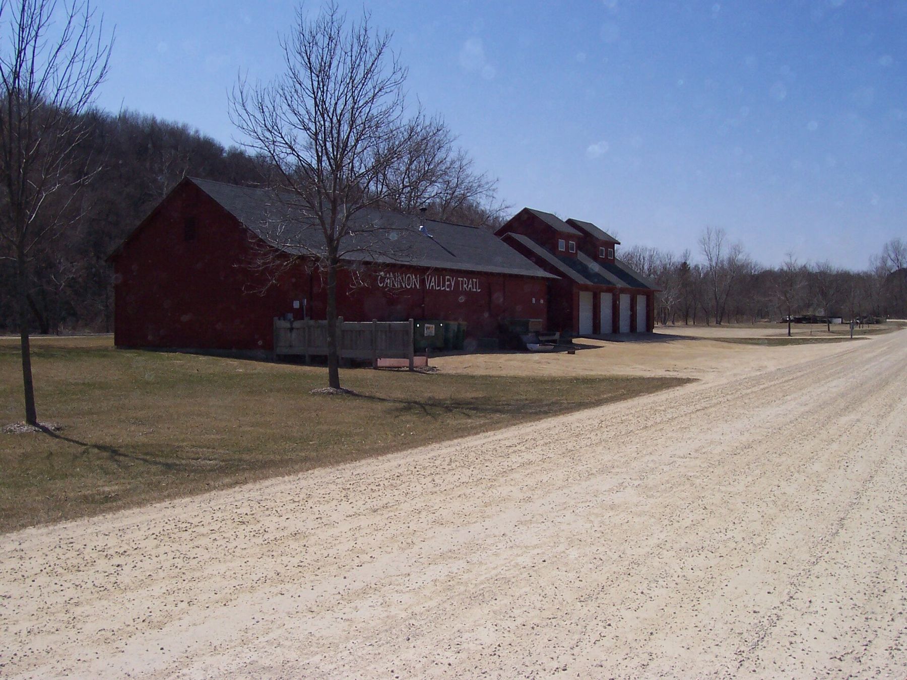
Welch is also where the river gets busy on hot weekends. People put canoes, kayaks and inner tubes in upstream and drift down through the valley, and the sound of voices carries a long way over the water. On a weekday in June the same stretch can feel empty.
The river is the reason the trail feels the way it does.
The river is the reason the trail feels the way it does. It keeps the air cooler in the valley bottom on summer afternoons, it brings herons and kingfishers to the bends, and it gives you somewhere to stop, sit on a bank and do nothing for a while.
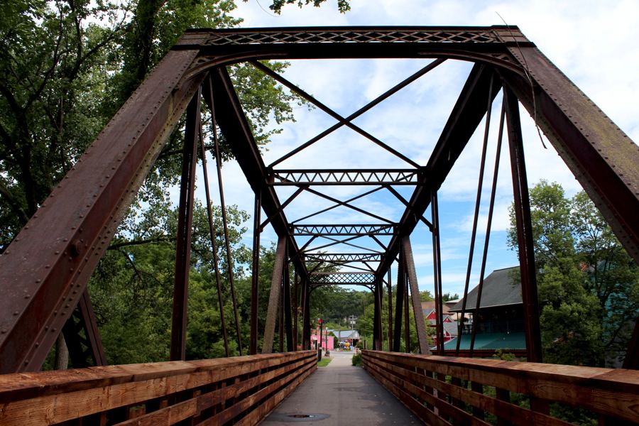 Further along the riverLanesboro and the Root River Trail
Getting on the water
The lower Cannon is usually a gentle river, which is why so many people float it, but treat it with the usual care. It rises quickly after heavy rain, it can run fast and cold in spring, and fallen trees lodge against the banks and in the channel, where current can pin a canoe or a swimmer. Wear a life jacket, scout anything you cannot see around, and check river levels before you go. Seasonal rentals and shuttles operate in the valley in summer; plan the takeout before the put-in, because walking back along the trail with a boat is no fun.
If you are riding rather than paddling, you can still enjoy the river traffic from the trail. Several spots give a view down to the water, and on summer afternoons you will see bright tubes turning slowly in the current below.
Passes and trail manners
The Cannon Valley Trail is not a state trail. It is run locally, and adult cyclists and skaters need a wheel pass, sold for a single day or for the season. Walkers do not need one. The price, the age at which a pass is required, and where passes are sold all change from time to time, so check before you go and carry the pass with you, since staff do check.
The rest is common sense. Keep right, call out before you pass, and slow down near families and dogs. Motor vehicles are not allowed. The trail has few places to fill a bottle between the towns, so carry more water than you think you need. Winter use is different from summer use, so check what is allowed if you are thinking of skis or snowshoes.
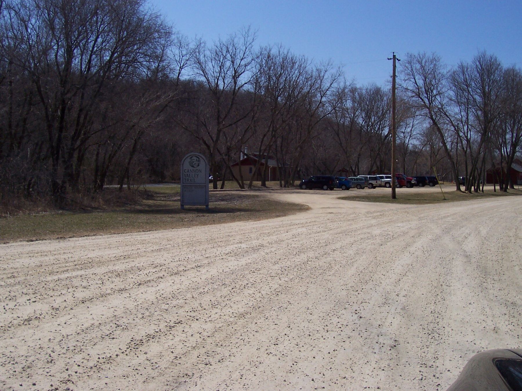
Arriving in Red Wing
The eastern end of the trail reaches Red Wing on the Mississippi, and the change is sudden: after hours in a closed valley you come out to the big river, the rail yards and the town's brick blocks. If you still have legs, it is a short ride into the old downtown and a steep walk up Barn Bluff, where the whole river valley opens below you. From there you can see across the water to Wisconsin and up toward the head of Lake Pepin, where the villages of Bay City and Maiden Rock sit under the bluffs.
A full out-and-back from Cannon Falls to Red Wing is about forty miles. That is a long day for casual riders, though the grade makes it easier than it sounds. Shorter options work well: Welch to Red Wing and back, or Cannon Falls to Welch with a long lunch by the river. If you have a second car, leave one at each end and ride one way.
Whichever way you ride, the light changes the trail. Morning sun comes straight down the valley from the east and lights up the river; by late afternoon the bluffs throw the path into shade long before sunset. In summer that shade is welcome. In spring and autumn it means the air cools quickly, so pack a layer for the last hour.
The best weeks are in late May, when the woods are fresh and the trail is quiet on weekdays, and in early October, during the bluff colour that turns the valley orange and gold. Summer weekends are busiest, and for good reason. Go early, carry water, and leave time to stop at the river.
Whose pictures these are
- Iulus Ascanius at English WikipediaPublic domain
- McGhieverCC BY-SA 4.0