- Best months
- May, September and October
- Getting there
- Highway 35, or the Winona bridge
- Bring
- Good shoes for the bluff steps, binoculars and bug spray
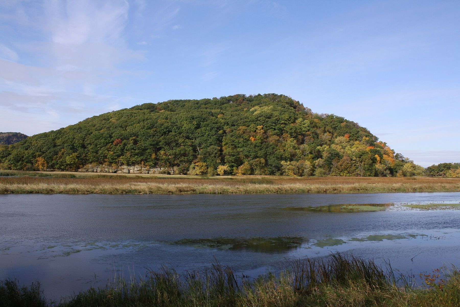
South of Alma, Highway 35 keeps to the foot of the bluffs, and the Wisconsin bank grows wilder and more broken. Fountain City sits in a narrow gap with its houses stacked up the slope. Further on, past the turn for the Winona bridge, the bluffs step back and the land opens into marsh, sand prairie and the backwaters at the mouth of the Trempealeau River. There, Perrot State Park wraps around a set of bluffs and a lone hill standing in the water, and the village of Trempealeau looks out over the river from just beyond.
On the far bank sits Winona, the largest town on this stretch, with its own overlook at Garvin Heights facing back across the valley. The bridge between the two banks lands on the Wisconsin side between Fountain City and Trempealeau, which puts all three places within an easy morning's drive.
Fountain City, stacked on the bluff
Fountain City is built into the hillside. The flat ground along the river is barely wide enough for the highway, the railway and a row of buildings, so the rest of the town climbs. Houses sit one above another on narrow terraces, reached by steep lanes and stairways, and from the river the whole town looks as if it has been stacked against the bluff.
The name comes from the springs that run out of the hillside, and the town was settled largely by German and Swiss families in the middle of the nineteenth century. Its older brick and stone buildings along the main street date from those decades, when the river carried most of the trade. The bluff behind the town rises steeply, and roads behind Fountain City climb to farmland on the ridge with views back over the river.
Just north of town, Merrick State Park lies on the backwaters rather than the bluffs. Its campsites and picnic areas sit right at the water's edge, and it is a fine place to launch a canoe into the sloughs. Lock and Dam No. 5A is at Fountain City too, and a tow working through the lock is a good reason to linger.
Walk Fountain City rather than driving through it. Park near the main street, then climb one of the lanes behind it until you can look down over the rooftops to the river. The houses are private, so keep to the public streets and steps, but even a short climb shows you how the town is built: every level has its own view, and every view takes in the water.
Perrot State Park
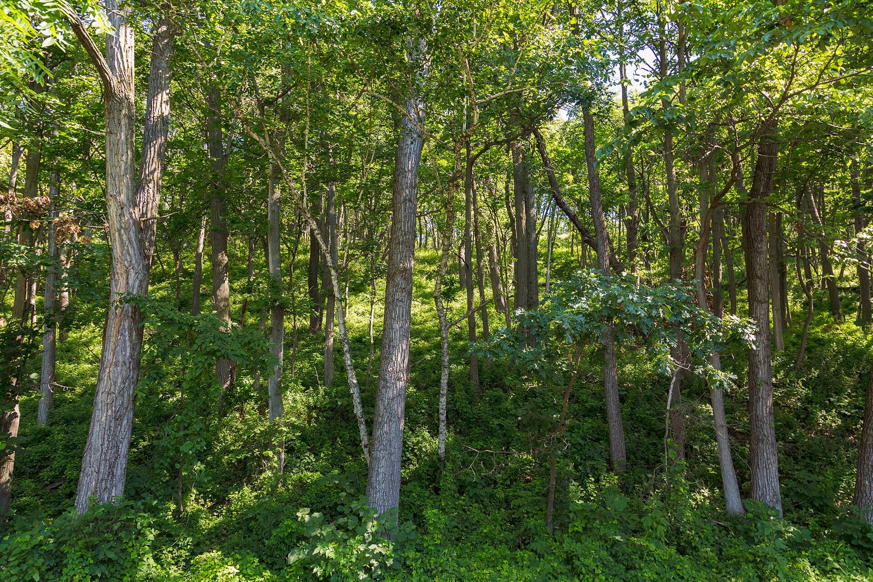
Perrot State Park sits where the Trempealeau River meets the Mississippi, and it is one of the finest parks on either bank. Its bluffs rise straight from the water, and the trails that climb them give views up and down the valley that few places match.
The park is named for Nicolas Perrot, a French trader and official who wintered near here in the 1680s. Long before that, the land was home to Native peoples, and the Ho-Chunk and Dakota have deep connections to it. Earthwork mounds built centuries ago still stand in the park and on the hill offshore. They are sacred places; stay on the trails, and do not climb on or disturb them.
The best-known climb is Brady's Bluff. The trail is short but steep, with stone steps and narrow sections, and it rises through woods to a dry prairie on the bluff top. From the top you look down on the confluence, the backwaters and the main channel, and across to the Minnesota bluffs. The prairie grasses and wildflowers up there are at their best from midsummer to early autumn. The steps can be slick after rain, and the edges are steep, so take your time and keep children close. Other trails in the park follow the ridges and the riverbank, and some of them are far gentler than the climb up Brady's Bluff.
 Further along the riverThe trout streams of the Driftless country
Trempealeau Mountain
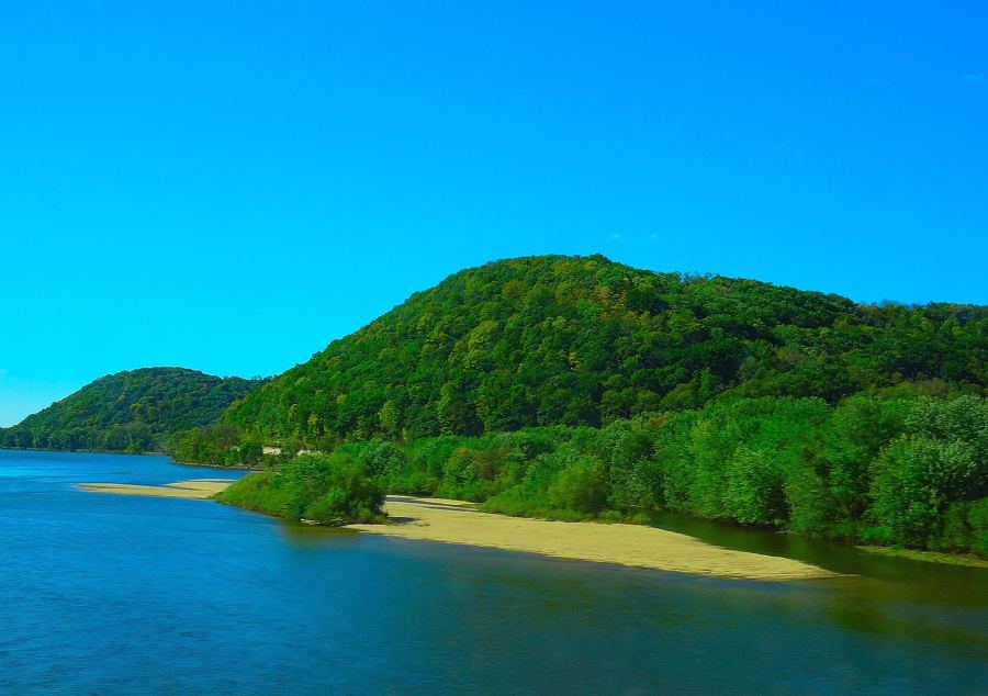
Out in the water, just off the park, stands Trempealeau Mountain, a bluff that the river has cut off from the rest. It rises from the backwaters like an island, wooded on top with rock showing on its flanks. The French called it the mountain that soaks in the water, and the town and river took their names from that description.
It rises from the backwaters like an island, wooded on top with rock showing on its flanks.
The mountain is protected for its natural and cultural value, and its mounds are among the reasons. You see it best from the shore in the park or from a canoe on Trempealeau Bay, where a paddling route loops through the backwaters around it. Paddle on a calm day, watch for submerged stumps, and keep clear of the main channel, where the current and the wakes of passing boats are stronger than they look.
Trempealeau National Wildlife Refuge
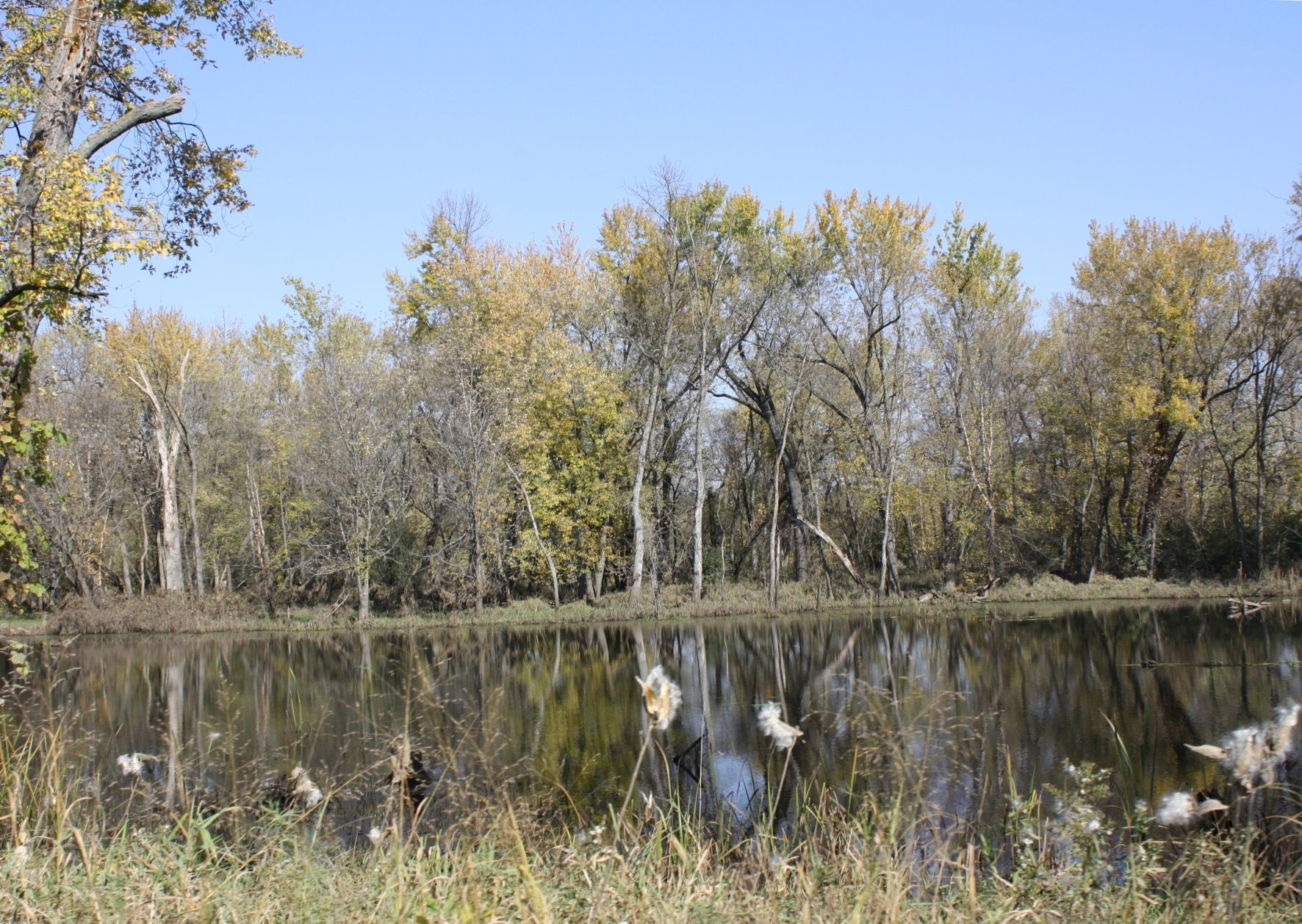
Just upstream from the park, Trempealeau National Wildlife Refuge protects a broad spread of marsh, open water, sand prairie and floodplain forest. Dikes built across the old river bottoms hold shallow pools, and the refuge was set aside in the 1930s to give migrating waterfowl a place to rest.
A wildlife drive loops through the refuge, and walking trails follow the dikes and cross the prairie. Spring and autumn are the busiest times for birds: ducks, geese, swans and pelicans on the water, sandhill cranes in the fields, and warblers in the woods along the edges each May. For the wider picture of the spring migration, read about spring warblers and the river flyway. The Great River State Trail, a crushed-stone path on an old rail grade, also passes through the refuge on its way toward La Crosse.
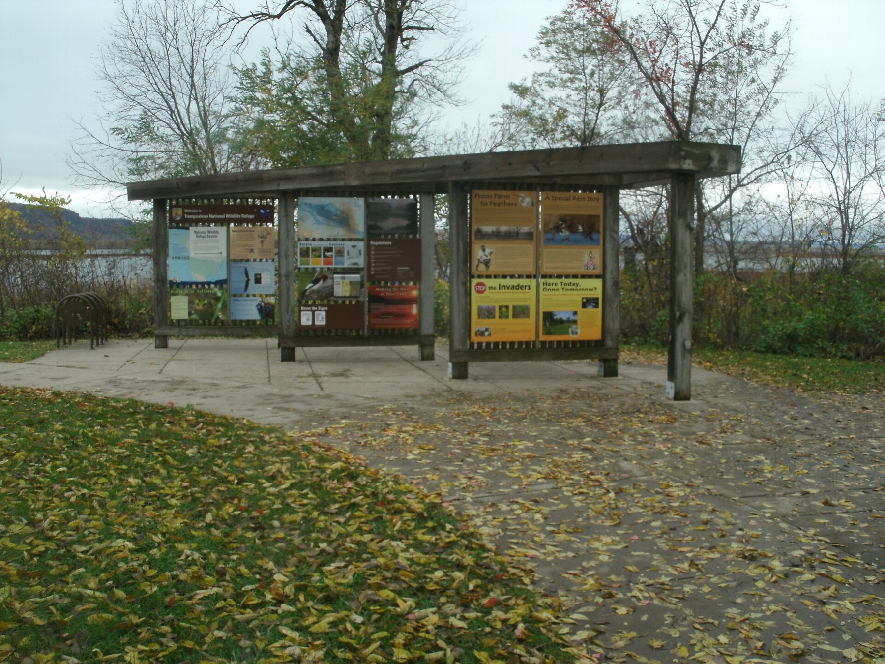
Bring insect repellent in early summer and walk quietly. Some areas close seasonally to protect nesting birds, and rules on pets and access are posted at the entrance, so read them before you set off.
Trempealeau village and the way on
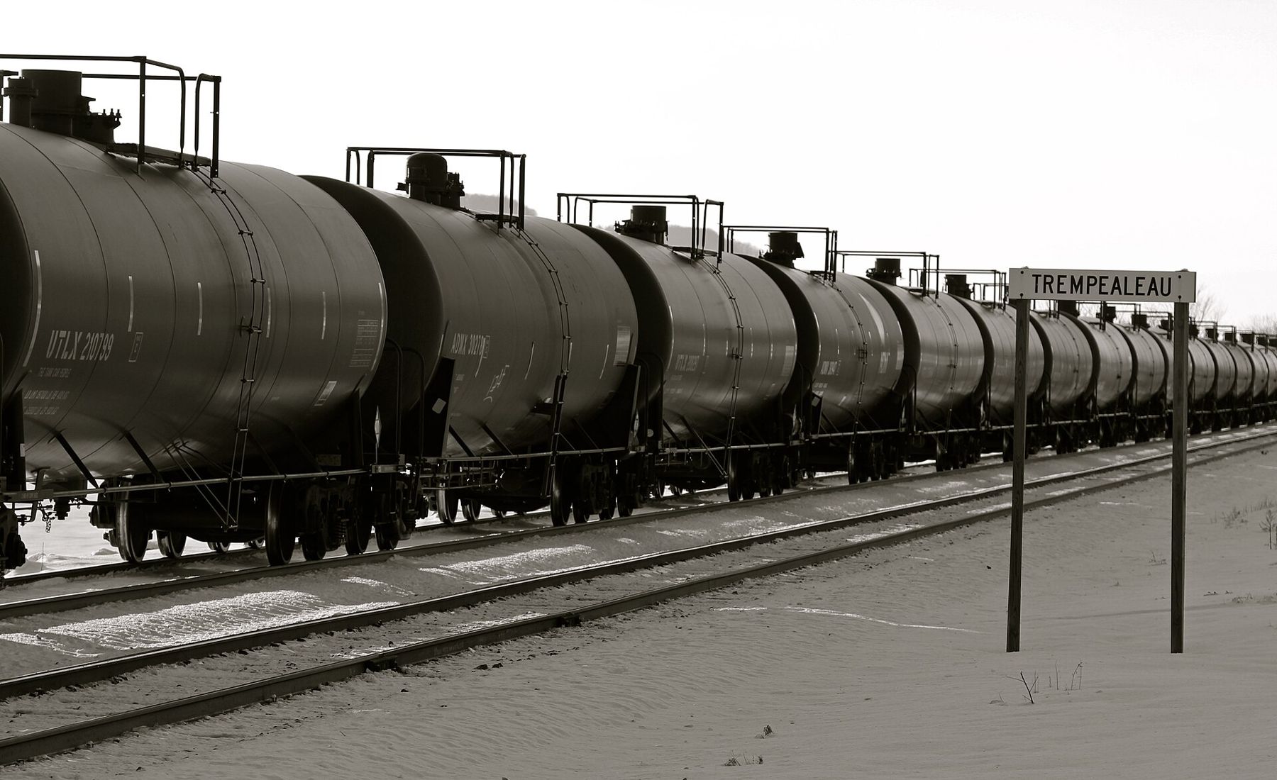
The village of Trempealeau sits on a rise above the river just south of the park, with a short main street of older buildings, a riverfront and Lock and Dam No. 6 at its edge. The railway runs along the shore here as it does all the way down this bank, and long freight trains are part of the scenery and the sound of the place.
From Trempealeau, Highway 35 runs on through Centerville and Onalaska to La Crosse, where Grandad Bluff gives one more great view over the valley. Or turn back to the Winona bridge, cross into Minnesota and come back up the other bank on US-61. Either way, give the bluffs and the backwaters a full day; this stretch rewards walking more than driving.
Timing matters here. May brings migrating songbirds to the park woods and the refuge edges. Late summer turns the bluff-top prairies gold and purple with grasses and asters. October brings colour to the slopes and waterfowl to the pools, and it is also the busiest season, so arrive early at the trailheads on weekends. State park vehicle passes and camping rules change from time to time; check the current rules before you go rather than relying on last year's.
Whose pictures these are
- RoyalbroilCC BY-SA 3.0
- Tony Webster from Minneapolis, Minnesota, United StatesCC BY-SA 2.0
- FalkmartCC BY-SA 4.0
- Roy LuckCC BY 2.0